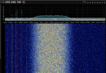
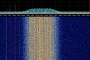
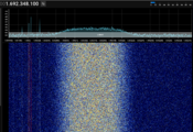
GK-2A LRIT ( Low-Rate Image Transmission )
From Signal Identification Wiki
 | |
|---|---|
| Frequencies | 1692.1 MHz |
| Frequency Range | 1692.1 MHz - 1692.1 MHz |
| Mode | RAW |
| Modulation | BPSK |
| ACF | — |
| Emission Designator | — |
| Bandwidth | 170 kHz |
| Location | Asia-Pacific |
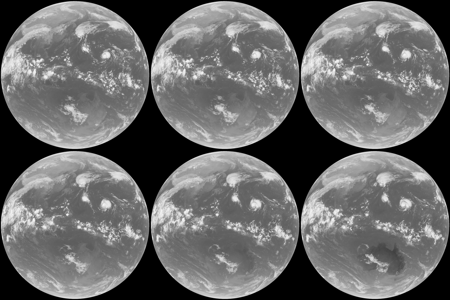
| Short Description | LRIT (Low-Rate Image Transmission) is used to transmit images on the GK-2A satellite |
| I/Q Raw Recording | Download file |
| Audio Sample | |
Geo-KOMPSAT-2A (GK2A) is a geostationary meteorological satellite (located at 128.2° E) operated by the Korea Meteorological Administration (KMA). (NORAD: 43823. Int: 2018-100A.)
Specifications[edit]
- Downlink frequency: 1692.14 MHzMegaHertz (MHz) 10^6 Hz (L-band)
- Polarization: Linear, East–West
- Modulation: NRZ-L BPSKBinary Phase-Shift Keying (1 bit per symbol) (binary phase shift keying)
- Pulse shaping: Root-raised cosine filter with roll-off factor 0.5
- Symbol rate: 128 kbaud
- Information bit rate: 64 kbpsKilobits per second (kbps) (due to 1/2-rate convolutional coding)
- Forward error correction:
- Outer code: Reed–Solomon (255,223) over GF(2⁸), 4-block interleaving
- Inner code: Convolutional, rate-1/2, constraint length 7 (CCSDS standard)
- Data randomization: Applied before modulation (per CCSDS)
- Frame synchronization: 4-byte sync marker
0x1ACFFC1D - Transmission frame structure (CADU):
- 6-byte AOS primary header
- 886-byte M_PDU (2-byte header + 884-byte payload)
- 128 bytes Reed–Solomon parity
- Total: 1024 bytes (CADU)
- Compression: Lossless JPEG2000, 8-bit grayscale imagery
- Encryption (optional): Single-key DES in ECB mode (applied to LRIT file payloads)
Frequencies[edit]
- 1692.1 MHzMegaHertz (MHz) 10^6 Hz GK-2A
Samples[edit]


